ListarMapas y Publicaciones Regionales y de Síntesis por tema "Córdoba (Argentina)"
Mostrando ítems 1-6 de 6
-
Mapa Geológico de la Provincia de Córdoba
(Ministerio de Economía y Obras y Servicios Públicos, 1995) -
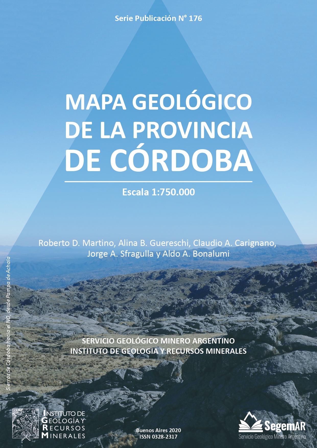
Mapa Geológico de la Provincia de Córdoba. Escala 1:750.000
(Servicio Geológico Minero Argentino. Instituto de Geología y Recursos Minerales, 2020)Córdoba, una de las veintitrés provincias de la República Argentina, está situada en la región central y limita al norte con Catamarca y Santiago del Estero, al este con Santa Fe, al sureste con Buenos Aires, al sur con ... -
Petrography Report
(Australian Geological Survey Organisation, 1996)As part of the Work Program for the Geoscientific Mapping of the Sierras Pampeanas Argentine-Australia Cooperative Project, thin sections were prepared and descriptions made of selected samples from the three detailed ... -
Report on Geology and Metallogeny of the "Sierras de San Luis y Comechingones" 1:250.000 Map Sheet Provinces of San Luis and Córdoba
(Australian Geological Survey Organisation, 1997)Geology The Sierras de San Luis y Comechingones map area covers 12 000 km2 extending from east of the Sierras de Comechingones to west of the Sierras de San Luis. The city of San Luis is located in the south west of the ... -
Report on Geology and Metallogeny of the “Sierras de Septentrionales de Córdoba” 1:250.000 Map Sheet Province of Córdoba
(Australian Geological Survey Organisation, 1997)Geology The Sierras septentrionales de Córdoba sheet area is located in the northern Sierra Grande and Sierra Chica. They form part of the southern Sierras Pampeanas which are part of a distinct morphotectonic province ... -
Shrimp U-Pb Geochronology Final Report
(Australian Geological Survey Organisation, 1997)This report presents SHRIMP zircon U-Pb analyses from the Sierras septentrionales de Córdoba, Sierras de San Luis y Comechingones and the Sierras de Chepes y las Minas areas. Location details, petrographic descriptions ...