Geología Regional: Recent submissions
Now showing items 81-100 of 491
-
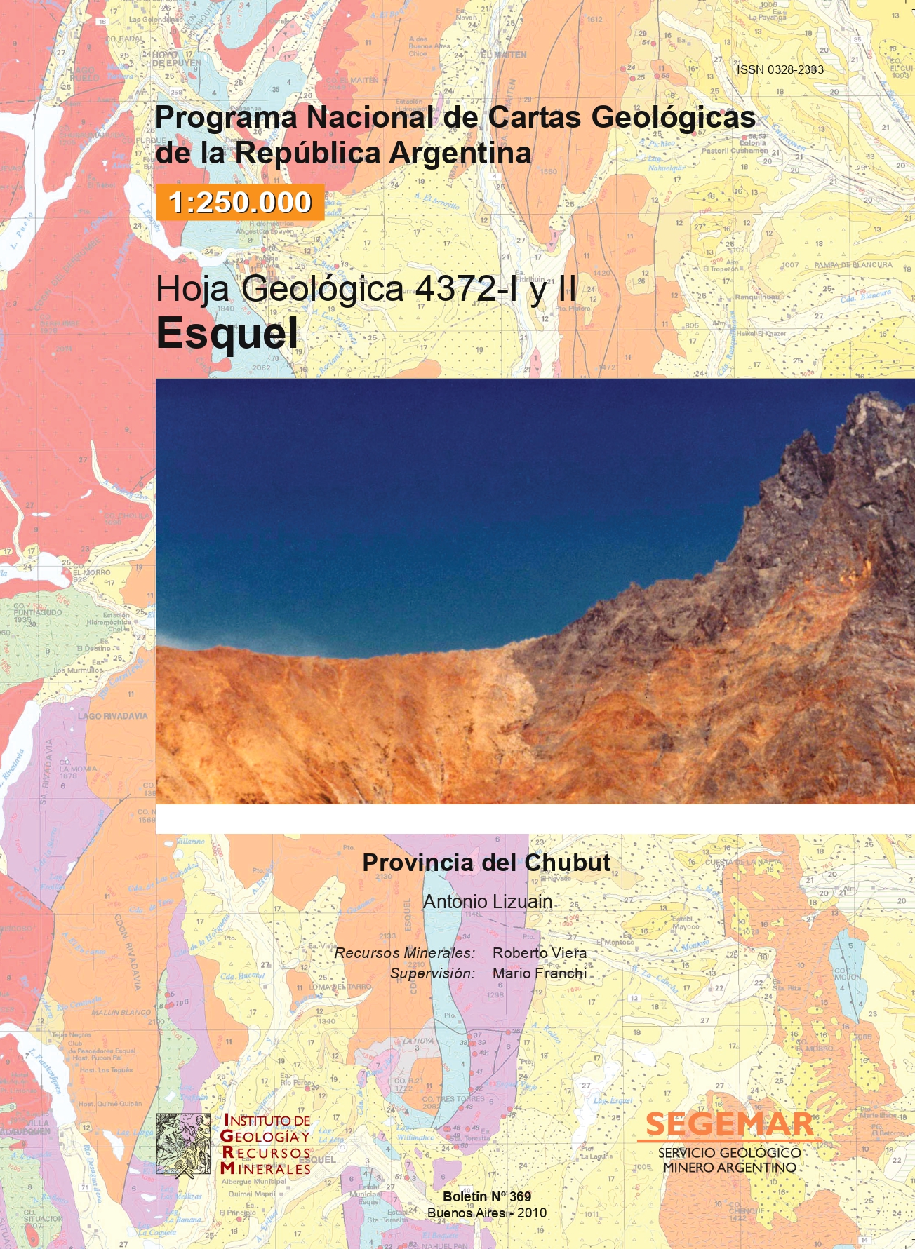
Hoja Geológica 4372-I y II Esquel. Provincia del Chubut (versión final)
(Servicio Geológico Minero Argentino. Instituto de Geología y Recursos Minerales., 2010)La comarca que abarca la Hoja Esquel forma parte en su mitad occidental de la Cordillera Patagónica Septentrional, en tanto que la mitad oriental constituye parte de la Precordillera del Chubut y de las estribaciones más ... -
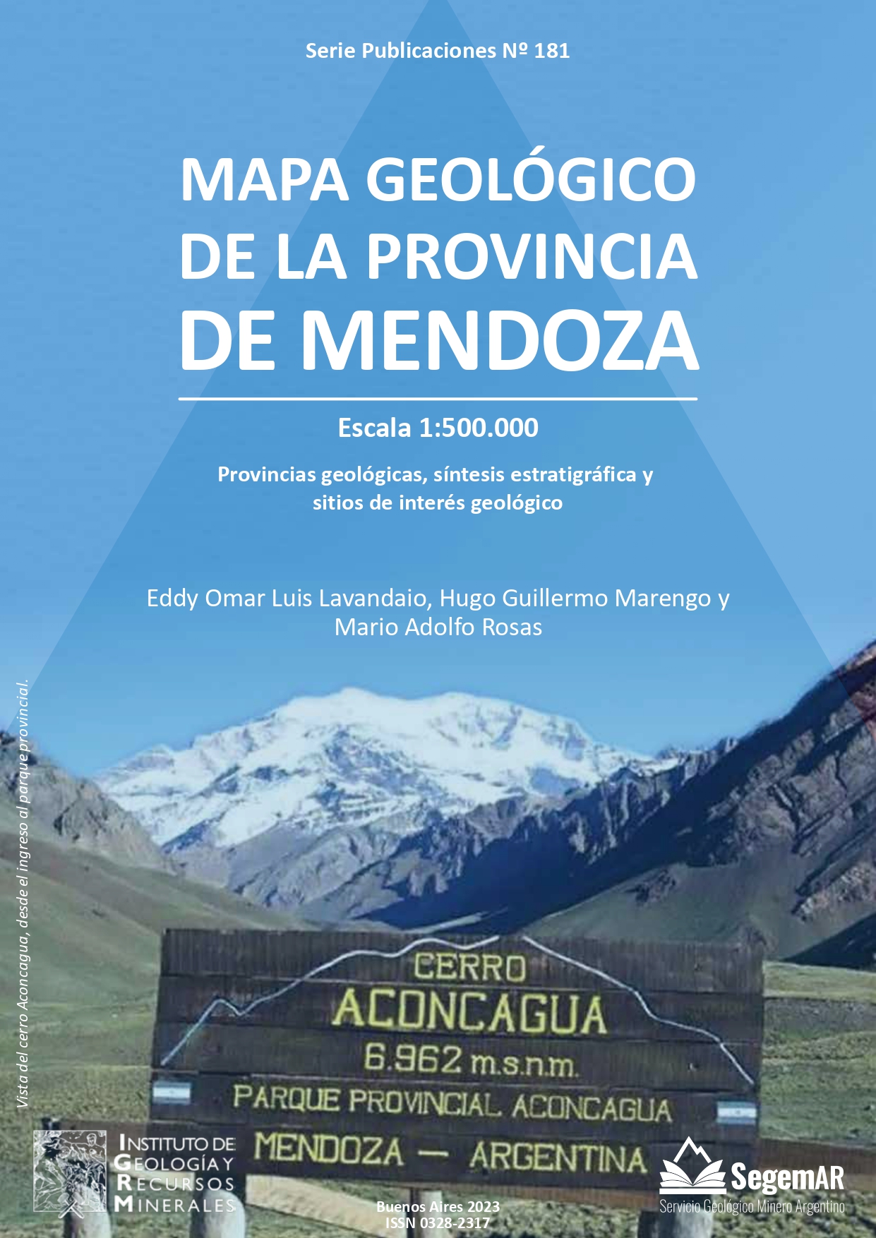
Mapa Geológico de la Provincia de Mendoza. Escala 1:500.000
(Servicio Geológico Minero Argentino. Instituto de Geología y Recursos Minerales., 2023)Se presenta en una nueva versión del Mapa Geológico de la provincia de Mendoza, a escala 1:500.000, realizado sobre la base de las Hojas Geológicas 1:250.000 y 1:100.000 de los últimos 25 años y del material bibliográfico ... -
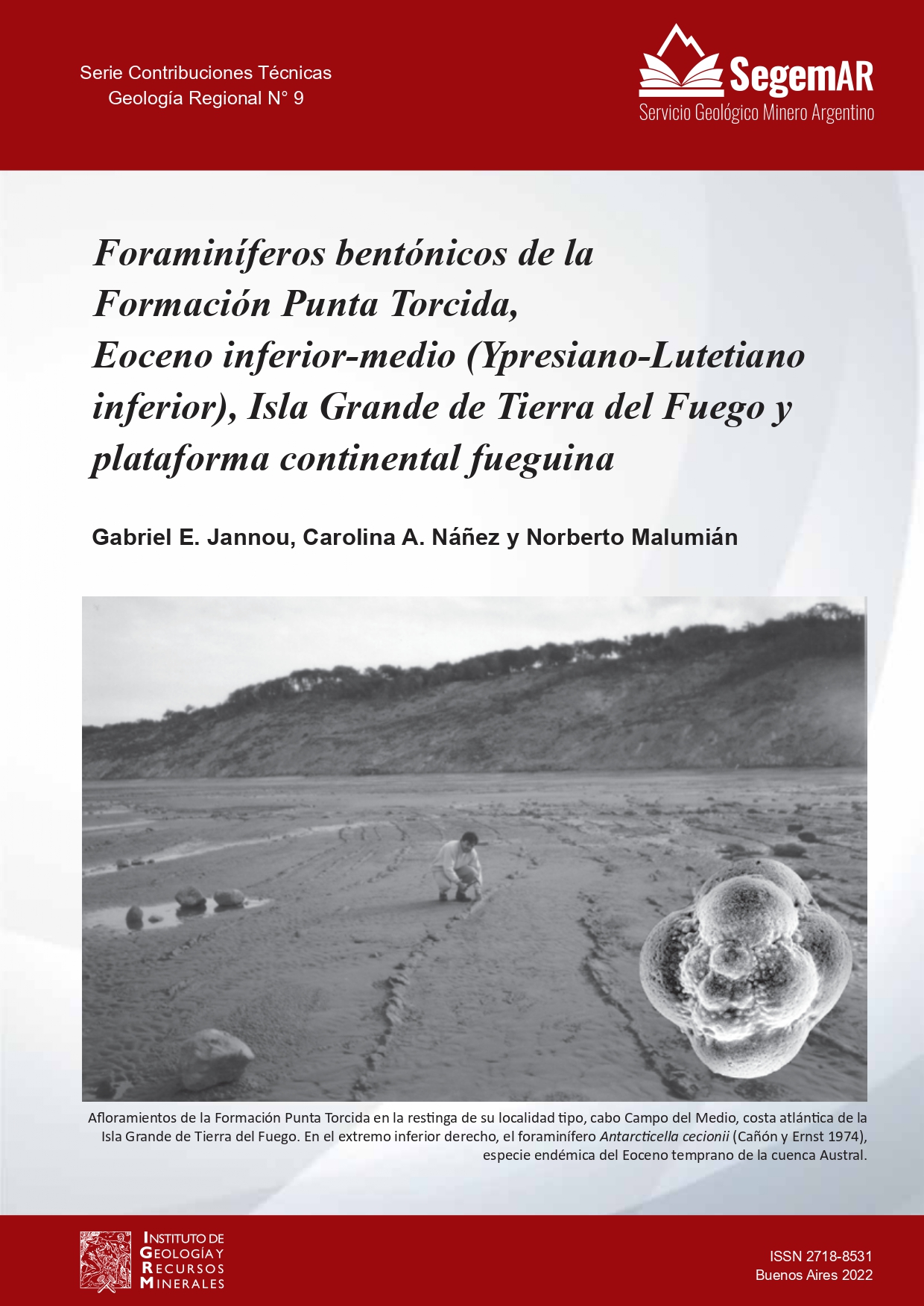
Foraminíferos Bentónicos de la Formación Punta Torcida, Eoceno Inferior-Medio (Ypresiano-Lutetiano Inferior), Isla Grande de Tierra Del Fuego y Plataforma Continental Fueguina
(Servicio Geológico Minero Argentino. Instituto de Geología y Recursos Minerales., 2022)En la Formación Punta Torcida y en el tramo de 1310 a 1430 metros bajo boca de pozo del pozo Arroyo Cachimba Norte x-1, Eoceno temprano-medio, cuenca Austral, Isla Grande de Tierra del Fuego, se diferenciaron 161 especies ... -
Mapa Geológico de la Provincia del Chaco, República Argentina. Escala 1:750.000
(Servicio Geológico Minero Argentino. Instituto de Geología y Recursos Minerales, 2016) -
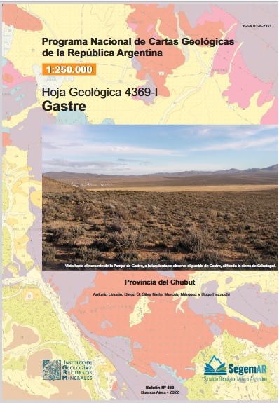
Hoja Geológica 4369-I Gastre, Provincia de Chubut
(Servicio Geológico Minero Argentino. Instituto de Geología y Recursos Minerales., 2022)Las rocas más antiguas reconocidas en el ámbito de la Hoja Gastre son esquistos, gneises y anfibolitas asignados al CarboníferoPérmico, a las que le siguen metavulcanitas y metasedimentitas de la Formación Calcatapul de ... -
Mapa Geológico de la Provincia del Chubut, República Argentina. Escala 1:750.000
(Servicio Geológico Minero Argentino. Instituto de Geología y Recursos Minerales, 2022) -
Mapa Geológico de las Islas Malvinas. Escala 1:500.000. Provincia de Tierra del Fuego, Antártida e Islas del Atlántico Sur, República Argentina
(Servicio Geológico Minero Argentino. Instituto de Geología y Recursos Minerales, 2022)Mapa Geológico de las Islas Malvinas a escala 1:500.000, correspondiente a la Provincia de Tierra del Fuego, Antártida e Islas del Atlántico Sur. Describe datos de perfiles columnares, sección estructural en la Isla Soledad, ... -
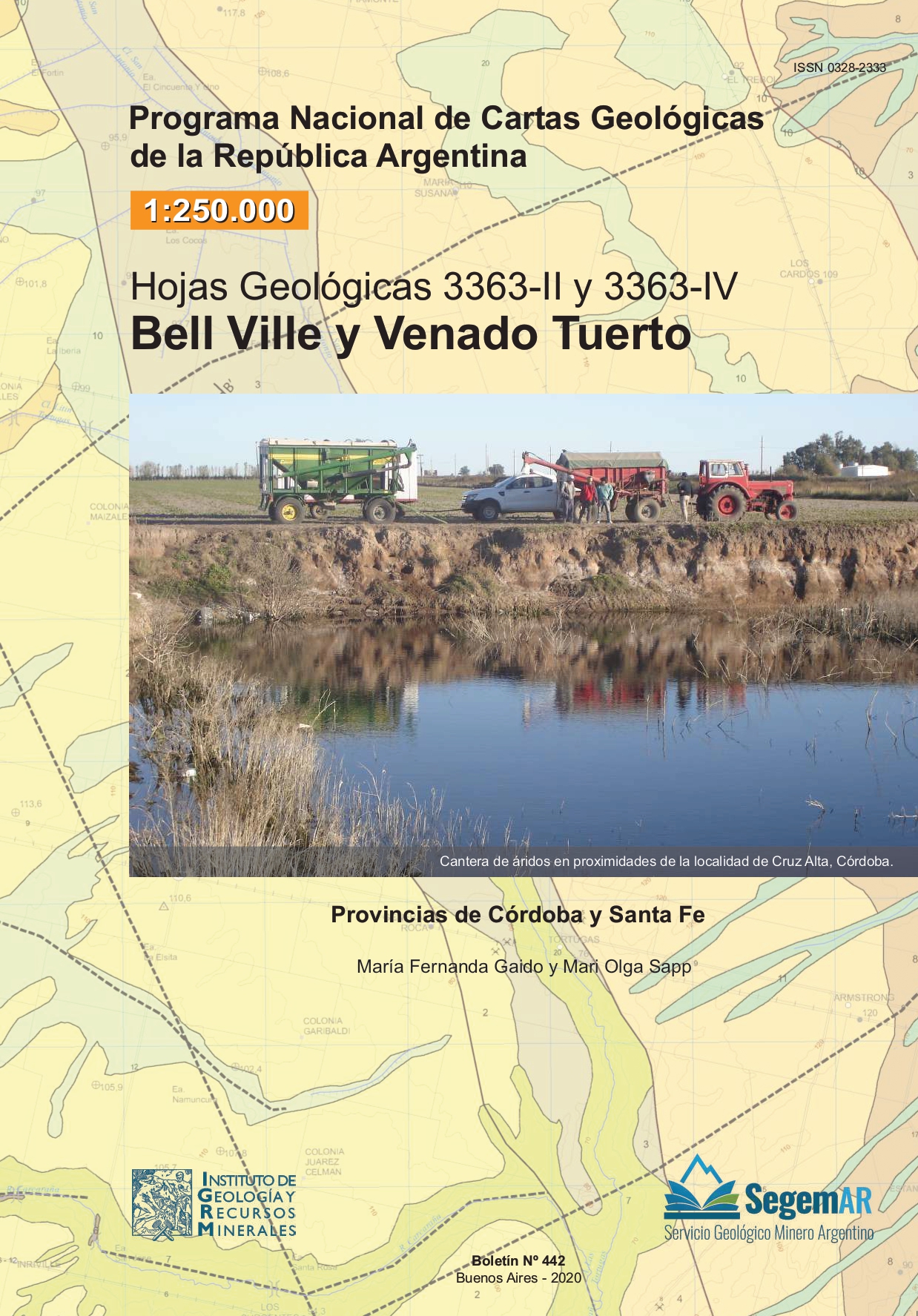
Hoja Geológica 3363-II y 3363-IV Bell Ville y Venado Tuerto, Provincias de Córdoba y Santa Fe.
(Servicio Geológico Minero Argentino. Instituto de Geología y Recursos Minerales, 2020)Las Cartas Geológicas Bell Ville (3363-II) y Venado Tuerto (3363-IV) a escala 1:250.000, están situadas en la provincia geológica Llanura Chaco Pampeana, abarcando parte de la región centro oriental de la provincia de ... -
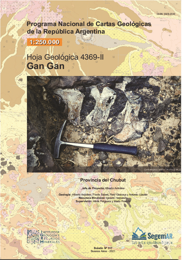
Hoja Geológica 4369-II Gan Gan, Provincia de Chubut
(Servicio Geológico Minero Argentino. Instituto de Geología y Recursos Minerales, 2021)La Hoja 4369 – II Gan Gan está situada en la región norcentral de la provincia del Chubut. El relieve es de serranías, como las sierras Pire Mahuida, de los Chacays, de Apas, Talagapa, Chauchaiñeu, Catanlil, Jalalaubat, ... -
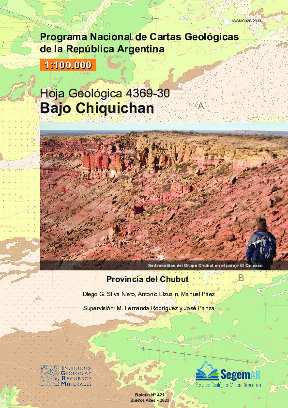
Hoja Geológica 4369-30 Bajo Chiquichan, Provincia del Chubut
(Servicio Geológico Minero Argentino. Instituto de Geología y Recursos Minerales, 2020)La Hoja 4369-30, Bajo de Chiquichan, se encuentra ubicada en el centro-norte de la provincia del Chubut, en el ámbito geológico de Patagonia extraandina, al sur del Macizo Nordpatagónico y al norte del río Chubut. Sus ... -
Mapa Geológico de la Provincia de Córdoba. Escala 1:750.000
(Servicio Geológico Minero Argentino. Instituto de Geología y Recursos Minerales, 2020)Córdoba, una de las veintitrés provincias de la República Argentina, está situada en la región central y limita al norte con Catamarca y Santiago del Estero, al este con Santa Fe, al sureste con Buenos Aires, al sur con ... -
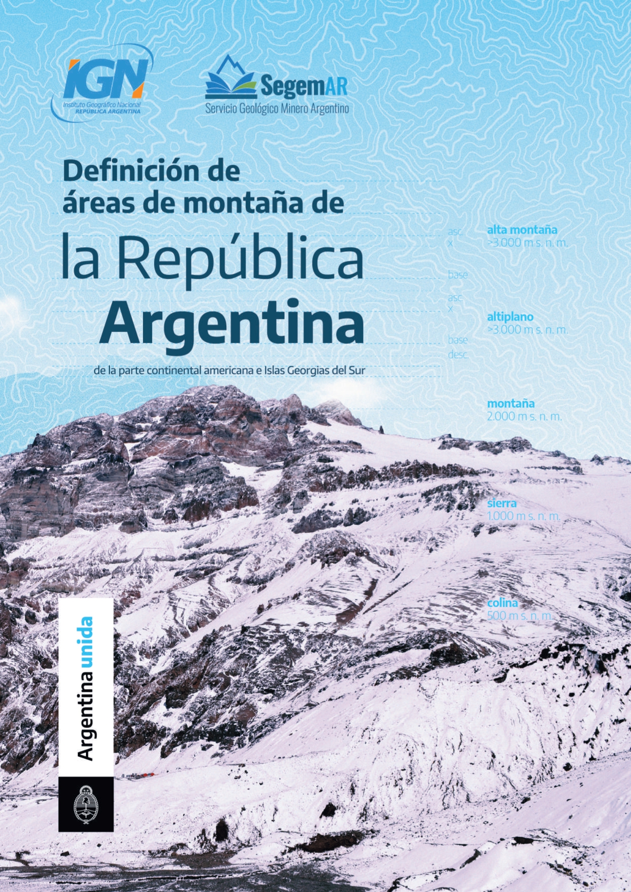
Definición de áreas de montaña de la República Argentina, de la parte continental Americana e Islas Georgias del Sur
(Instituto Geográfico Nacional y Servicio Geológico Minero Argentino, 2021)Las montañas constituyen un ecosistema frágil que ocupa un 22% de la superficie terrestre y alberga un 13% de la población mundial1. Los procesos naturales de la Tierra y el cambio climático afectan estas regiones, como ... -
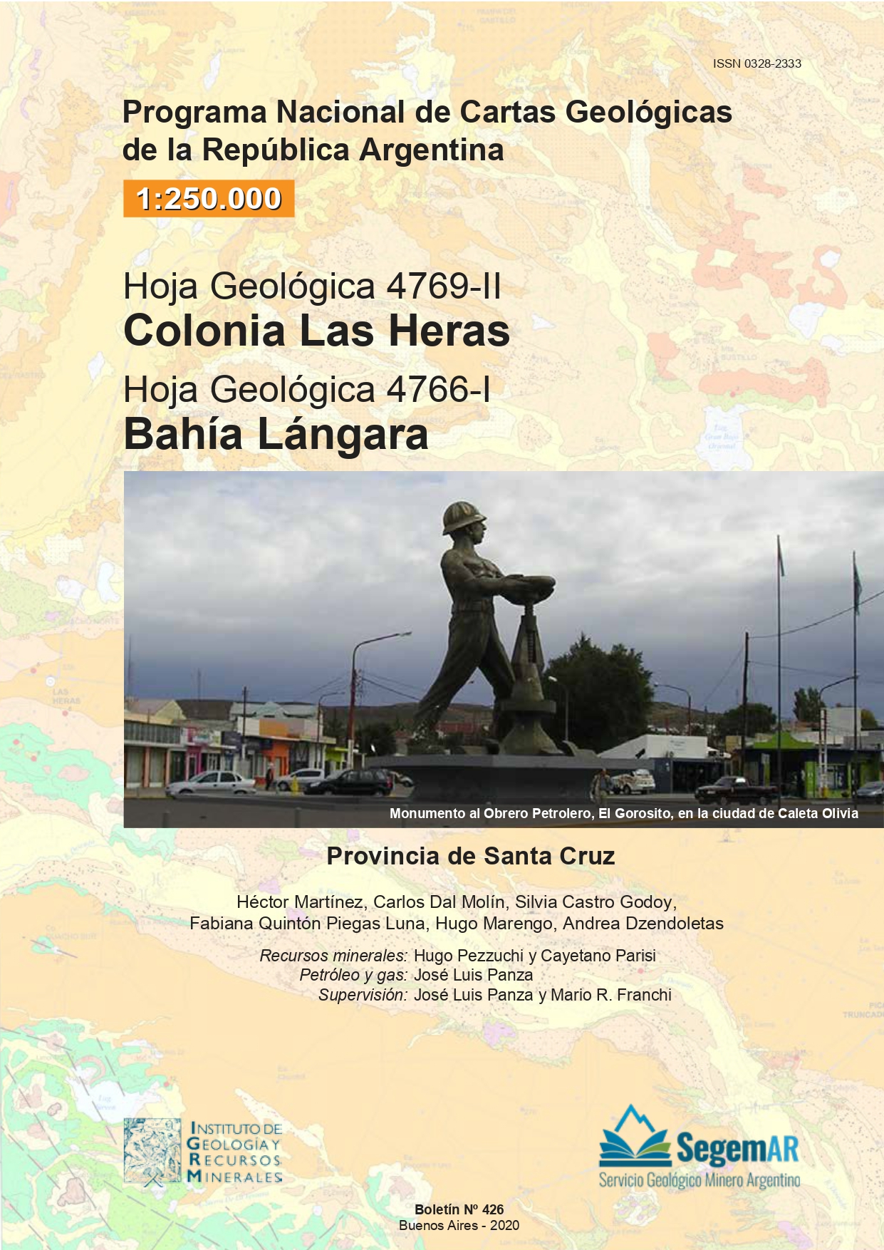
Hoja Geológica 4769-II Colonia Las Heras y Hoja Geológica 4766-I Bahía Lángara, Provincia de Santa Cruz
(Servicio Geológico Minero Argentino. Instituto de Geología y Recursos Minerales, 2020)Las Hojas Geológicas 4769-II, Colonia Las Heras y 4766-I, Bahía Lángara, ubicadas en el extremo nororiental de la provincia de Santa Cruz, abarcan parte del centro de cuenca y del flanco sur de la provincia geológica Cuenca ... -
Hoja Geológica 2969-IV Villa Unión
(Servicio Geológico Minero Argentino. Instituto de Geología y Recursos Minerales, 2020)La Hoja Geológica 2969-IV Villa Unión abarca parte de la región noroccidental de la Provincia de La Rioja y el sector occidental de la Hoja comprende una porción del noreste de la provincia de San Juan. Se extiende entre ... -
Hoja Geológica 3169-34 Los Berros, Provincia de San Juan
(Servicio Geológico Minero Argentino. Instituto de Geología y Recursos Minerales, 2020)La Hoja Geológica 3169-34, Los Berros, está situada al sur de la provincia de San Juan y lleva el nombre de una importante localidad calera. Comprende parte de dos provincias geológicas: las Sierras Pampeanas Occidentales ... -
Geología de las Placas Scotia y Sandwich. Revisión y Mapa Geológico
(Servicio Geológico Minero Argentino. Instituto de Geología y Recursos Minerales., 2020)Esta contribución técnica está integrada por un mapa y una síntesis geológica de las placas Scotia y Sandwich, en el sector comprendido entre los paralelos 50° y 65° 40’ de latitud sur y los meridianos 78° y 19° 30’ de ... -
Discontinuidades Estructurales en las Sedimentitas de la Cuenca Neuquina. Fracturas, venas, vetas y bandas de deformación en la faja plegada del Agrio, dorsal de Huincul y dorso de Los Chihuidos, provincia del Neuquén
(Servicio Geológico Minero Argentino. Dirección de Geología y Recursos Minerales., 2020)Esta publicación presenta los resultados de un estudio de estructuras de origen tectónico en las sedimentitas de la Cuenca Neuquina, denominadas discontinuidades estructurales. Se incluyen rocas de afloramientos ubicados ... -
Gráficos de Corridas Fotográficas y Hojas del Mosaico. Provincias de San Juan, Mendoza, Neuquén y Río Negro
(Dirección General de Fabricaciones Militares. Instituto Foto Topográfico Argentino, 1962) -
Mapa Geológico de Suramérica a Escala 1:5.000.000
(Commission for the Geological Map of the World (CGMW), Servicio Geológico Colombiano y Servicio Geológico de Brasil, 2019)La Subcomisión para Suramérica de la Comisión del Mapa Geológico del Mundo (CGMW) realizó la nueva edición del Geological Map of South America (GMSA) at a scale of 1:5M, aprobada por la Asamblea General de la CGMW en Oslo, ... -
Hoja Geológica 2566-II Salta
(Servicio Geológico Minero Argentino. Instituto de Geología y Recursos Minerales, 2019)La Hoja Geológica 2566–II, SALTA, comprende partes de la franja centro occidental de la Cordillera Oriental, el extremo sur de las Sierras Subandinas, representado por la sierra de Zapla, y la faja occidental del Sistema ...